Progression Video
April 25th to May 30th 2021.
Select the option to watch full screen, up to 4k resolution.
Construction site progression reports can be captured weekly, bi-weekly or monthly, based on your desired time frame and can be reviewed on the Internet, 24/7 by anyone authorized and provided with the username and password.
Each progression report has it's own page with various multimedia comparisons to the previous progression capture date.
You can review a previous progress status example via the menu at the top of this page.
The original, high definition deliverable's are also available for download in addition to the online reports based on your specific needs and requirements. Orthomosaics, DEM's, Photos, video and/or 3D property models can be made available for download via your Google drop box or transferred to the server or service of your choice.
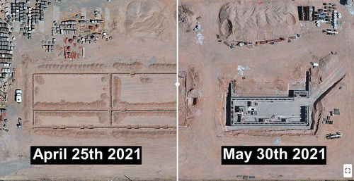
Use the slider bar in the photo to get an overview of the progress from April 17 to April 25th 2021.
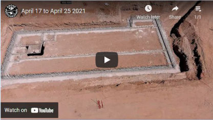
Fly through showing the construction progress of the site from April 17 to April 25th 2021.
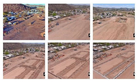
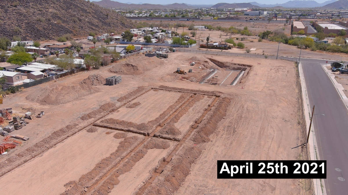
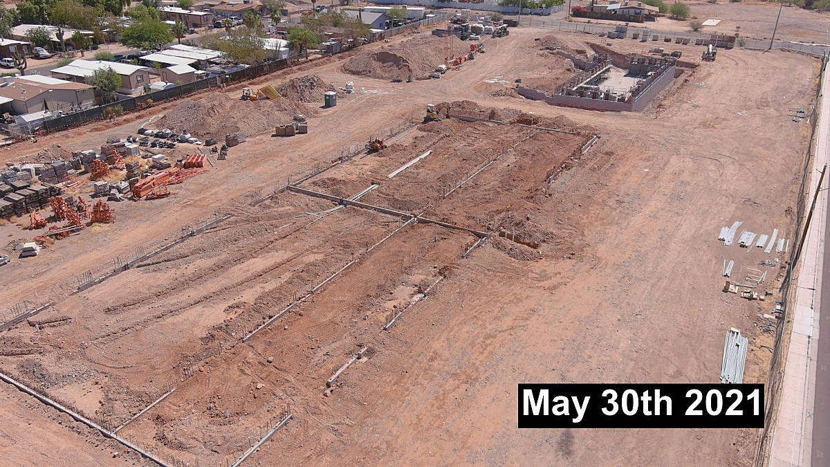
Time lapse, point of interest construction progress image comparisons

Use your mouse to view a full screen 360 degree, current construction site image for April 25th 2021.
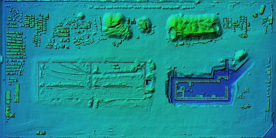
Large, orthomosiac images can be downloaded and used for your surveyor for accurate measurements
April 25th to May 30th 2021.
Select the option to watch full screen, up to 4k resolution.
These can consist of any number of specific points of interest on the project that you are particularly interested in monitoring the progress of though time. The example below represents just one particular point of interest.
We are not surveyors. The maps, models and associated data provided and offered on this website do not represent survey grade data. No liability is assumed for the accuracy of the data delineated on any map, either expressed or implied. If you require centimetre accuracy, please seek the services of a licensed land surveyor or survey engineer. DronesiViews LLC data gathering does not replace the need for a licensed land surveyor. Additionally, we do not overlay property boundaries on lots (developed or undeveloped) for sale for the same reasons noted above.
Online Construction Progressions
Monitor your projects progress, online. From anywhere in the world, just login to your private access page.
Virtual progressions save you time, travel and effort and enable you to closely monitor your construction site progress.
Contact us for information and a free quote!
Mark Hamilton - Dronesiviews LLC
18444 N. 25th Ave. Suite 420
Phoenix, AZ. 85023
Phone: (623) 226-7731
Contact Us